Building date: Demolished
Original use: Schoolhouse
Corner structures:
Mortar application and content:
Types and uses of stones:
Types and choice of windows:
Structures with similar masonry details:
Masons who worked on building:
Unique features:
Map views courtesy Google Maps. Address is Google Earth confirmed; 43.2053, -77.041367.
Town of Sodus and Wayne County Maps.
Wayne Historians Organization (WHO), Historic Sites Inventory Sod-51 District #13 Buerman School
Sodus District Schoolhouses with Teacher's names and dates, courtesy NYGEN Town of Sodus Teachers web page. Editor's Note: The dated list provided includes all school structures built for the Town of Sodus Districts. Unfortunately, the exact dates when this schoolhouse was used for classes may not be included in the documentation provided in the Cobblestone Info Base or other linked sources.
 1858 Wayne County Map Sod-51 Excerpt.jpg ¹ | 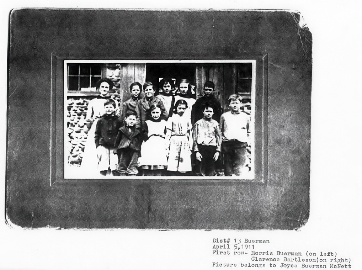 Dist 13 Buerman Schoolhouse GPix.jpg ¹ |
¹ 1858 Wayne County Map Sod-51 Excerpt courtesy Library of Congress.
² Imagery courtesy Wayne Historians Organization (WHO).
